 43
43

This satellite image provided by NOAA and taken at 12:45 …
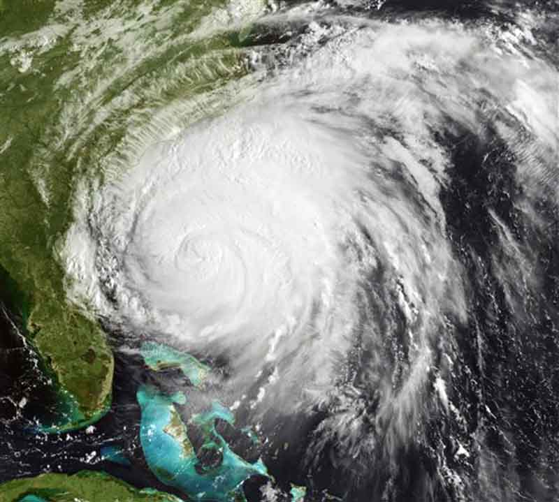
Photo by Associated Press | published: August 27, 2011
This satellite image provided by NOAA and taken at 12:45 GMT Friday Aug. 26, 2011 shows Hurricane Irene as it moves northward along the U.S. eastern coastline with 110 mph sustained winds. Hurricane Irene began lashing the East Coast with rain Friday ahead of a weekend of violent weather that was almost certain to heap punishment on a vast stretch of shoreline from the Carolinas to Massachusetts. (AP Photo/NOAA)